
Prehistoric burial mounds, megalithic tombs (Dutch: Hunebedden), medieval cart tracks, traditional villages and fortress towns - the LF14 shows you the history of the rural north-eastern provinces of Holland.
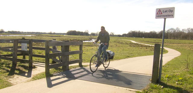 Floodplains along the River Overijsselse Vecht. Photo © Holland-Cycling.com
The mudflats of the Wadden Sea, the 70 km-long sand ridge of the Hondsrug ‘towering’ (remember: this is Holland!) over the surrounding area, river valleys, woods and heathland - it’s hard to describe this varied route in a few words. The combination of nature, history and picturesque towns make this part of Holland popular among Dutch tourists.
Click on one of the images to start a slideshow


LF14 Saxons Route (Saksenroute)
|
|
| Route: | Lauwersoog - Enschede |
| Distance: | 290 km |
| Connections: | Lauwersoog - LF Coastal Route Groningen - LF9 Mariënberg - LF16 Enschede - LF4 |
| Maps: | Online cycle route planner, or any good cycle map |
| GPS tracks: | Download from Nederland Fietsland |

